


Dowerin
- Discover
- Wheatbelt & Wave Rock
- Dowerin
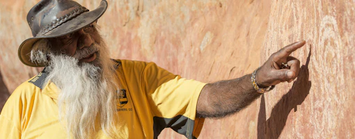
Dowerin is situated on the Northam-Wyalkatchem-Merredin railway loop line. The town takes its name from the Aboriginal word 'Daren' that was given to a series of lakes some eight kilometres south of the town. The nearby soak or water hole known as Tin Dog Creek was a resting place and watering hole for travellers and prospectors on their way to the Goldfields.
The first settlement for agriculture was in 1897 and the town was not established until 1906 when the railway line was extended from Goomalling. The town grew rapidly, the first store opened in 1906 and in a short time was able to cater for most settlers' needs. The first public buildings, a school and Methodist Church were built at Dowerin Lakes, or Old Dowerin.
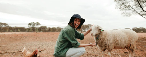
Primary production, including farming livestock, wool, and cereal crops, is the chief source of income for the area.
Dowerin attractions
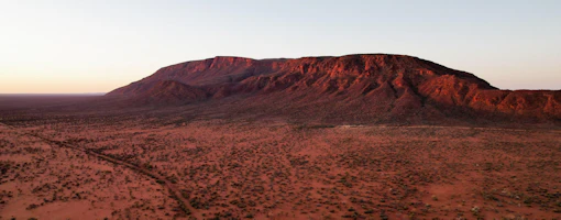
Uberin Rock, a large monolith, can be found approximately twenty-eight kilometres north west of Dowerin on the Uberin Road.
Dowerin is home to the Dowerin Field Days, an annual event showcasing the very latest in machinery, associated equipment, precision technology and rural services. The town's population can increase from around 400 up to 15,000 during this event.
Dowerin accommodation
Hotel, motel, self contained units and caravan park accommodation is available.
For more information about Dowerin, visit the local Shire website at www.dowerin.wa.gov.au

Wheatbelt Way
Follow the bright skies and big horizons along the northern wheatbelt on a star-gazing, bird watching road trips that delivers all the history and charm of this laidback region. The Wheatbelt Way is a fun, 4 day trip from Perth that officially begins in Dowerin and spans 800 kilometres with 24 interpretive sites along the way.
Things to do around Dowerin

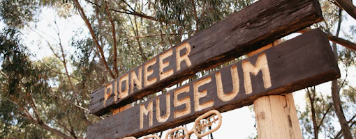
Dowerin Museum
The Dowerin Museum offers visitors an opportunity to see what life on the Wheatbelt was like in the 1930s. The house was built in 1912 and owned by…