


-
Distance: 770km (one way from Perth)
- Suggested Time: 3 nights, 4 days
- Perth to Southern Cross
The Eastern Wheatbelt self-drive trail takes visitors on a journey through the towns and surrounding landscape of Cunderdin, Tammin, Kellerberrin, Bruce Rock, Merredin, Westonia and Southern Cross.
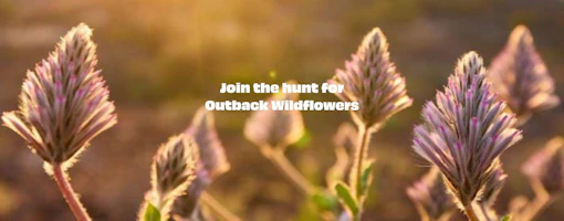
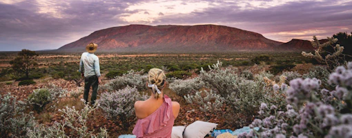
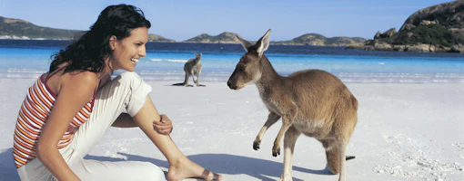
Here you will find communities rich in heritage, nature reserves abundant in wildflowers and native flora and fauna, soaring granite outcrops and vast salt lakes. The Eastern Wheatbelt self-drive trail features 21 key sites but if you have time to stay and explore longer, you will find that there is a whole lot more on offer.
-
1
Start your trip from Perth
…
-
Perth
-
-
 2
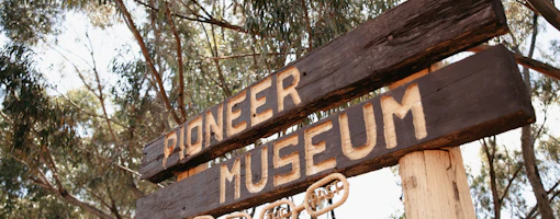
2Day 1: Cunderdin, Tammin and Kellerberrin
Cunderdin Just 132km, or around 1.5 hours, east of Perth along the Great Eastern Highway lies the town of Meckering, your starting point for the…
-
Cunderdin
-
Website
-
-
 3
3Day 2: Bruce Rock and Merredin
Bruce Rock Travelling from Kellerberrin along the Granite Way you will reach Kokerbin Rock, the third largest monolith in Australia. Drive to the top…
-
 4
4Day 3: Westonia and Southern Cross (156km)
Westonia Westonia came into existence with the discovery of gold in 1910. The most striking thing about Westonia is its unique charm and natural…
-
 5
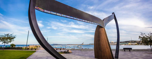
5Day 4: Southern Cross to Perth (370km)
Southern Cross Southern Cross was named after the stars that guided early prospectors to their gold find. It’s surrounded by some of the largest…
For more information on this road trip go to the Wheatbelt Eastern Regional Organisation of Councils website.
Wildflowers displays are subject to seasonal variations and weather conditions so before heading out, we recommend you contact the Central Wheatbelt Visitor Centre for updates on the season.