


Darkan, Duranillin and Arthur River
- Discover
- Wheatbelt & Wave Rock
- Darkan, Duranillin and Arthur River
The Shire of West Arthur is located on the western edge of the Wheatbelt, and encompasses the townsites of Darkan, Duranillin and Arthur River with jarrah forests to the west and more traditional Wheatbelt vistas to the east.
Darkan
Located 210km south of Perth, Darkan is a small, friendly rural community and a great base to explore the Shire's attractions. Attractions close to Darkan includes:
Lake Towerrinning
Lake Towerrinning is located 35km south of Darkan, this water playground is a great place to spend the day. You can swim, kayak, SUP on the lake and if you have a boat, bring it along and spend the day skiing. For the bird lovers, Lake Towerrinning is part of a nature reserve with areas set aside for the bird population. It is also a great place to discover some excellent astrophotography sites. Camping is available at Lakeside Camping.
Collie to Darkan Rail Trail
The old railway line from Narrogin to Collie which passed through West Arthur and has been developed into a walk/bike/horse trail. Learn more about the Collie to Darkan Rail Trail.
West Arthur Heritage Trail
With over 10 locations across the Shire of West Arthur, you can easily spend a day or two soaking up the area's history.
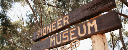
Betty Brown Historical Centre
The brand new Betty Brown Historical Centre is housed in the old Road Board Building in Darkan and offers an insight into how women contributed to building the rural communities in the area.
Six Mile Cottage
Set in amongst farmland 10km north of Darkan on the Darkan Quindanning Road, Six Mile Cottage is a beautifully preserved example of how the early settlers lived.
Darkan Sheepfest
Join the local community at the Darkan Sheepfest, held annually in February for good old fashioned country fun.
Accommodation
There are plenty of places to stay in Darkan or you can camp at Lake Towerrinning. Check out the Shire of West Arthur website for details on accommodation options when visiting the area.
Arthur River
The small town of Arthur River (or 125 Mile as it was originally known) is located on Albany Highway and was a welcome stop for the weary traveller on the way from Perth to Albany in the late 1800s. There are many historical buildings in the area which you can wander around.
Check out St Paul’s church and graveyard, the historic Mt Pleasant Inn kitchen and Post office, the Arthur River Hall and the Old Tillellan Shearing Shed and Shearer’s quarters.
The winding Arthur River weaves its way through the area before joining the Blackwood River. After the winter rains, there are a number of places where you can put a kayak in the water and have a whole river to yourself. A small parking area on the south of Hughes Mill Road at Duranillin, Moodiarrup Hall (north side of the Arthur-Boyup Road) and Glenorchy Bridge (Glenorchy South Road) are just a few of the places where you can set off from.
Nature Reserves
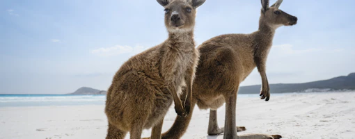
Orchids, lechenaultia, kangaroo paws, verticoridas and isopogons are just some of the wildflowers that are prolific in the spring months. There are many nature reserves throughout the Shire where it is possible to stop and wander through the bush to see some of the delicate flowers in the area.
Star Gazing
The Shire of West Arthur is part of the astrotowns network. The area is exceptionally dark and there are many places to view the stars and take some amazing astrophotographs. Download the izi.travel app to find out more about the shire's designated star gazing locations.
Shire of West Arthur Map, brochures and itineraries
There is plenty of information on the Shire website about the attractions in the area. Maps and visitor brochures can be downloaded from www.westarthur.wa.gov.au
Download Shire of West Arthur road trip itineraries here.
Wheatbelt Inspiration

Fuel Stops and Road Closures
Road closures and fuel updates in all major towns in Australia's Golden Outback

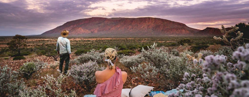
7 Must-See Wheatbelt Attractions
Tucked away in Western Australia, the Wheatbelt region's the natural landscape offers the perfect backdrop for an array of activities. We’ve…

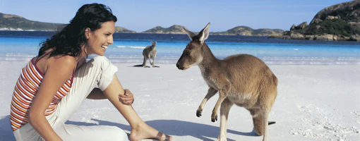
Best 2WD Road Trips in Australia’s Golden Outback
Best 2WD Road Trips in Australia’s Golden Outback.

Good food and garden blooms

Lake Grace: the perfect pitstop for your pooch
