


Eyre Highway & The Nullarbor Plain
- Discover
- Esperance, Fitzgerald Coast, Norseman & Nullarbor
- Eyre Highway & The Nullarbor Plain
The Eyre Highway and the Nullarbor Plain offer one of the world's greatest road adventures.
2 days – Sealed Roads
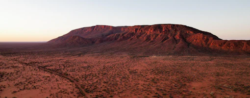
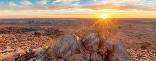
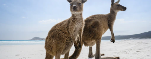
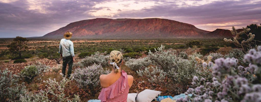
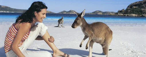
Travelling this expansive plain, you’ll experience the remoteness of the Great Victoria Desert, the pounding Southern Ocean of the Great Australian Bight, and the beautiful Eyre Peninsula in South Australia. This harsh yet stunning region is home to terrestrial and marine wildlife including wombats and whales, and there is abundant bird life along the way. Spanning from Norseman in WA to Ceduna in SA, it’s only when you’re on the road, that you’ll truly gain an appreciation of its vast and wide interior.
Along the Nullarbor you can play the world’s longest golf course, the Nullarbor Links. This 18-hole par 72 ‘golf course’ spans 1,365km with one hole in most of the participating towns or roadhouses along the Eyre Hwy.
NORSEMAN TO BALLADONIA
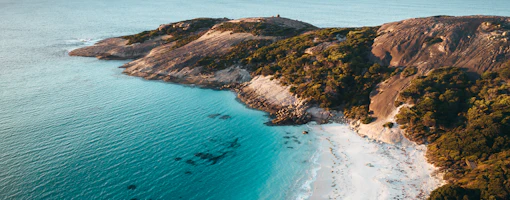
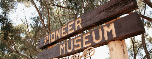
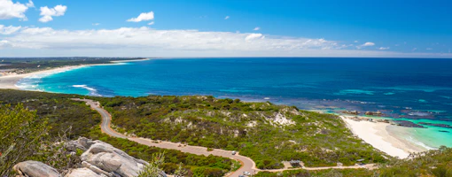
Before heading off from Norseman, check out Beacon Hill Lookout for great views and call into the brand new Woodlands Cultural Centre. If you have the time, a detour down to Esperance, home to Lucky Bay, crowned ‘World’s Best Beach 2023’.
The Nullarbor journey begins through low shrub and spinifex to Balladonia.
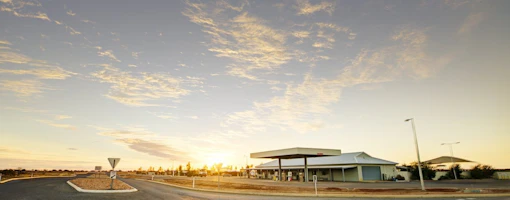
Accommodation options: Balladonia Roadhouse

BALLADONIA TO EUCLA
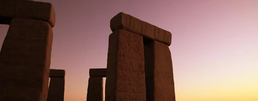
In Balladonia, see the Skylab space station debris which crashed nearby. Take a look at the Caiguna Blowhole. Then hit the longest straight stretch of road in the world – all 146.6km of it. Its common name is the 90 Mile Straight.
Drive to Eyre Bird Observatory, home to more than 240 species of birds, many of which are rare or endangered. Stop for lunch at Cocklebiddy, famous for its cave systems, which are among the largest in the world. Take a detour from here to see the towering 70-metre cliffs of the Great Australian Bight. You’ll find a roadhouse and fuel stop at Caiguna before hitting the longest straight stretch of road in the world – all 146.6km of it. Its common name is the 90 Mile Straight.
Enjoy scenic views of the escarpment from Madura Pass or check out the Nullarbor Museum at Mundrabilla Motel. At the WA border in Eucla, wander the old telegraph station ruins, and check out the historical collection at the Eucla Motel.
DOWNLOAD THE NULLARBOR MAP APP
If you are travelling across the Nullarbor, a free hard copy of the Nullarbor map is available from the Ceduna, Kalgoorlie-Boulder, and Norseman Visitor Centres. Alternatively, an interactive digital map is available from www.nullarbormap.com.au
To ensure you enjoy a safe and well-planned journey, take a look at our pages on Traveling to and Around the Golden Outback and Important travel tips. If you have your camping gear or caravan in tow, check out the range of caravan parks and camping sites available in Australia’s Golden Outback.
Driving times and distances are intended as a guide only and may vary depending on the exact route taken. Accommodation options are indicative of what is available in the area.
The above map is not to scale and is intended as a guide only. It is highly recommended before heading out on your journey, you purchase a detailed Western Australian road and track map available from the RAC, petrol stations or where good maps of Western Australia are sold.