


-
- Suggested Time: 5 days.
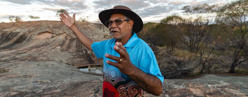
- Gascoyne Murchison Region
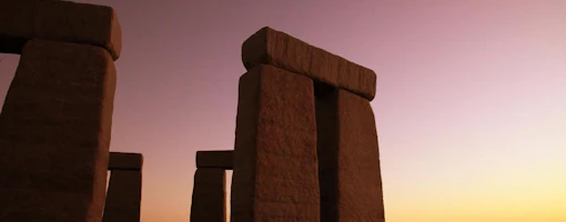
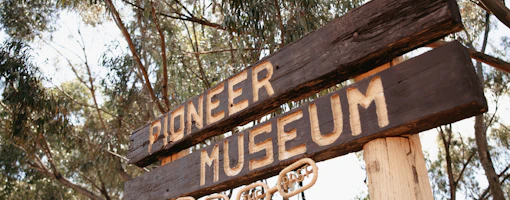
Follow the Miner’s Pathway north of Perth and explore the legacy of the remarkable gold rush era. Visit the grand old buildings, graveyards, rusting machinery and the rich stories of those who lived in these whirlwind times.
This 5-day self-trail will take you through the Gascoyne Murchison region to explore these fantastic towns of time gone by. You can purchase the Gascoyne Murchison Outback Pathways Guidebook online or in a local visitor centre to help plan your trip.
-
 1
1Day 1 - Paynes Find (400km)
It’s time to head north! Get the car packed with everything you need and set off on your journey to Paynes Find. The trip will take you roughly 4.5…
-
 2
2Day 2 - Meekatharra (340km)
Today is a big day of exploring, so wake up early, pack the car, grab some quick breakfast, and set off on your next leg of the trip, Paynes Find to…
-
 3
3Day 3 - Sandstone (193km)
PLEASE NOTE: This is a gravel road, reminder to check road conditions at your time of travel if travelling in a 2WD. Spend your morning exploring…
-
 4
4Day 4 - Yalgoo (280km)
Today we are back on the sealed road to Yalgoo. Set out mid-morning after a breakfast in town and admire the vast open landscape of the Gascoyne…
-
 5
5Day 5 - Perth (530km)
PLEASE NOTE: This is a gravel road, reminder to check road conditions at your time of travel if travelling in a 2WD. It’s the last day of your…
PLEASE NOTE: The Miner’s Pathway self-drive route covers both sealed and unsealed roads, including gravel roads. Depending on the time of the year and weather conditions, some parts of the route may only be suited to 4WDs. Usually, the route is accessible for 2WD vehicles, so please ensure to check the weather and road conditions before setting out on your journey. Also note, driving times and distances are intended as a guide only and may vary depending on exact route taken. The following itinerary includes ALL sealed and unsealed roads, so alter this trip to suit your circumstances.
Driving times and distances intended as a guide only and may vary depending on exact route taken. Accommodation options are indicative as to what is available in the area.
Above map is intended as a guide only. It is highly recommended before heading out on your journey, you purchase a detailed Western Australian road and track map available from the RAC, petrol stations or where good maps of Western Australia are sold.